
Simanaitis Says
On cars, old, new and future; science & technology; vintage airplanes, computer flight simulation of them; Sherlockiana; our English language; travel; and other stuff
AIRWAYS OF AMERICA—1933 PART 1
“THE SENSATION OF FLYING is not what most people imagine…. There is perfect calmness, possibly a feeling of exhilaration, never one of fear.” This, from cartographer and artist Armin K. Loebeck in 1933.
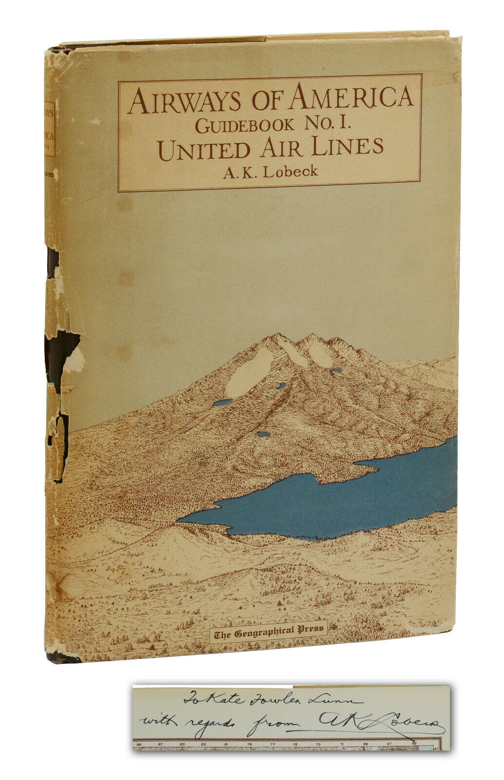
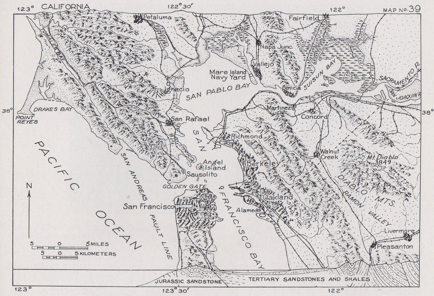
My copy of Airways of America is nowhere as Near Fine as the example shown here. However, both are First Editions and equally informative in addressing the geology, climate, vegetation, and agriculture traversed by pilots, stewardesses (as they were known in those days), and passengers traveling the 2776-mile airway from New York to California via Cleveland, Chicago, Des Moines, Omaha, Cheyenne and Salt Lake City.
Here, in Parts 1 and 2 today and tomorrow, are tidbits gleaned from Loebeck’s observations of this New York/San Francisco route as flown by United Air Lines, this airline having commenced service on March 28, 1931, only two years before publication of Loebeck’s Guidebook.
A Speedy Takeoff, a Vast Panorama. Loebeck described, “As the plane gains speed for the take-off the sense of motion is of course very great indeed. Just at the moment of leaving the ground the plane is probably moving considerably faster than most people ever travel by train or automobile and the nearness of objects renders this speed easily appreciated.”
Loebeck continued, “After an elevation of several thousand feet has been attained the landscape loses its relief and takes on the aspect of a map…. From an altitude of 10,000 feet, for example, an area the size of New York State comes within range of vision.”
This comes as a surprise to me, though Loebeck is the cartographer.
Regions Described. Loebeck went into great detail with the topography of the route’s regions. The first was New York to Easton, the flight beginning at Newark Airport (La Guardia wasn’t a public airport until 1939). Then Easton to Shamokin.

Loebeck mentioned the anthracite coal region. And, indeed, the flight route passed over Shenandoah, my parents’ birthplace.
Then Shamokin to Bellefonte, Bellefonte to Brookville, Brookville to Mercer and Sharon (and “The Oil Fields of Pennsylvania”), and Sharon to Cleveland (my hometown).
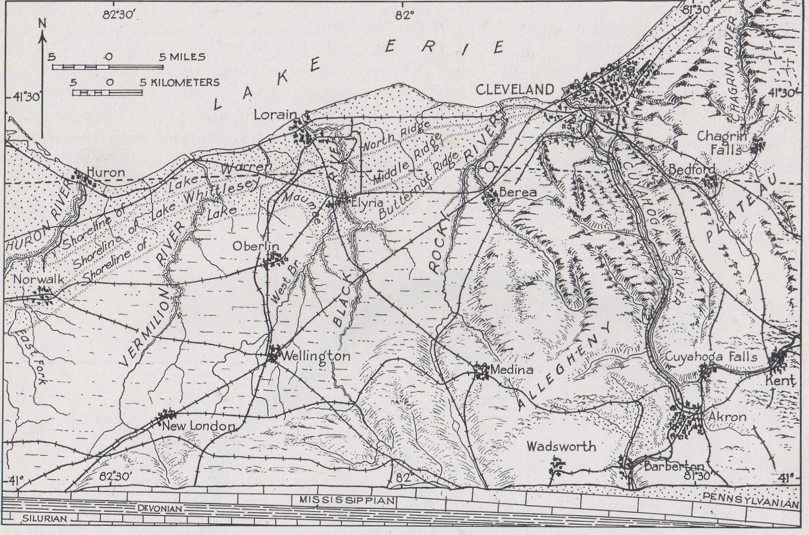
The Cleveland Region gets its own chapter: “Cleveland itself stands upon the delta of the Cuyahoga River which was built out during glacial times into Lake Maumee. This great lake preceded Lake Erie and covered somewhat more territory.”
Westward to Chicago. Sandusky-Toledo; Bryan, Ohio, and South Bend, Indiana; and Chicago get separate regional descriptions. (Daughter Beth, Michael, grandkids Lily and Carter live in Chicago.)

Continuing Westward. The airway continued Chicago to Clinton, Iowa City to Des Moines, and Des Moines to Omaha, with mention of the Kansas Drift Plain and the Flood Plain of the Missouri River. Lodgepole to Cheyenne displayed the High Plains, an extremely flat region at 6000 feet above sea level.
Then, in the Cheyenne to Laramie Region, “… there is spread before the air traveller a far-flung view which encompasses much of the Southern Rockies.” The Elk Mountain and Rawlins Region leadst to the Great Divide Basin, “part of the Continental Divide separating the waters of the Atlantic from those of the Pacific….”

Rock Springs-Green River Region is highlighted by the Baxter Dome. Another ten regional descriptions culminate in San Francisco.
Tomorrow in Part 2, we’ll turn to Loebeck’s descriptions of the pilot’s responsibilities on this transcontinental trip. ds
© Dennis Simanaitis, SimanaitisSays.com, 2022
